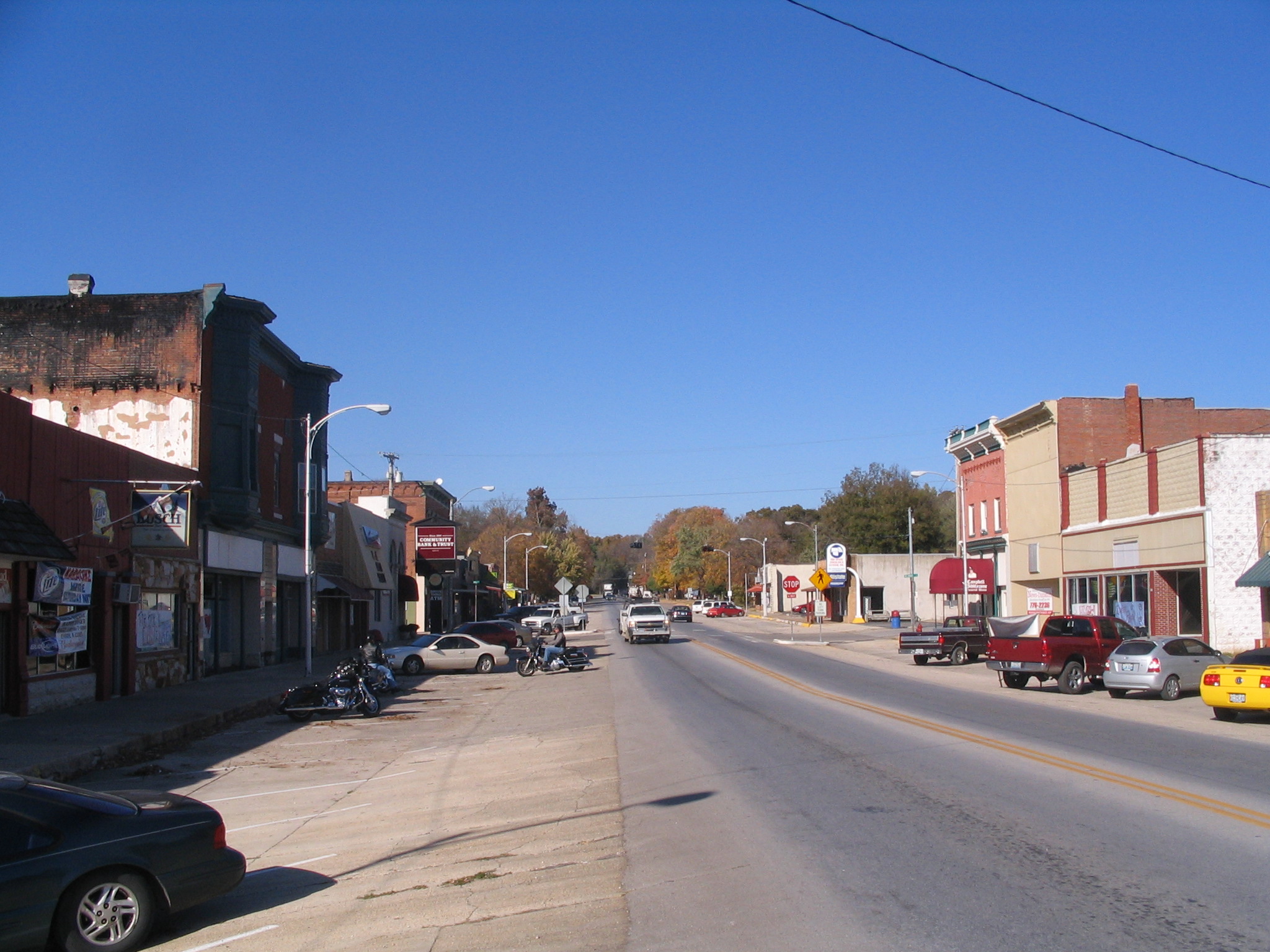
City in Missouri, United States
Seneca
Weather & Forecast
Seneca is a city in western Newton County, Missouri, United States. As of the 2020 census, Seneca had a population of 2,230. Located on the southwestern border of the state, the city is part of the Joplin, Missouri Metropolitan Statistical Area.Wikipedia
Temperatures vary across four distinct seasons. Rain peaks in the cooler months. Spring and fall feel like real transition seasons. Annual snowfall is between 5 and 15 inches. Humidity stays fairly steady through the year.
See how Seneca stacks up before you commit.
Find practical next steps in Seneca.
Housing, movers, and local services for people who are past browsing and starting to plan.
Where It Is
State Context
MissouriU.S. stateMissouri is a landlocked state in the Midwestern region of the United States. Ranking 21st in land area, it borders Iowa to the north, Illinois, Kentucky and Tennessee to the east, Arkansas to the south and Oklahoma, Kansas, and Nebraska to the west. With over six million residents, it is the 19th-most populous state of the country. The largest urban areas are St.Wikipedia
About the Region
Great PlainsThis Great Plains grouping includes the Dakotas, Nebraska, Kansas, Iowa, and Missouri. It brings together plains communities, agricultural areas, and metropolitan centers such as Omaha, Kansas City, and Des Moines.
North-south and east-west differences matter for temperature and rainfall. Distances and available services also vary between rural communities and metropolitan neighborhoods. The regional label alone does not establish affordability, storm exposure, or dependence on a car; use local evidence for those decisions.
Nearby Parks & Nature
Closest protected landscapes, reserves, and big park systems surfaced from the same nearby feeds used in compare.
Federal Park Sites
Local Nature & Reserves
Housing Costs & Income
Livability
Not a citywide average. Walkability varies by address.
36.84150, -94.61100 · Updated 2026-08-19
Walk Score · view mapped locationClimate Through the Year
Annual average of days with more than five hours of sunshine, not necessarily clear skies.
Comfort combines temperature band fit, humidity fit, seasonal swing, and penalties for long stretches of extreme heat or cold. Higher scores mean the yearly pattern stays closer to an easier day-to-day climate band.
Natural Hazard Risk
Local Next Steps
Housing and local help for a move to Seneca
Real estate, rentals, moving help, and everyday local businesses for people taking a serious look at Seneca. Sponsored placements are clearly labeled and never influence the city data.
Compare Seneca with other cities
Stack it side-by-side against cities you're considering.