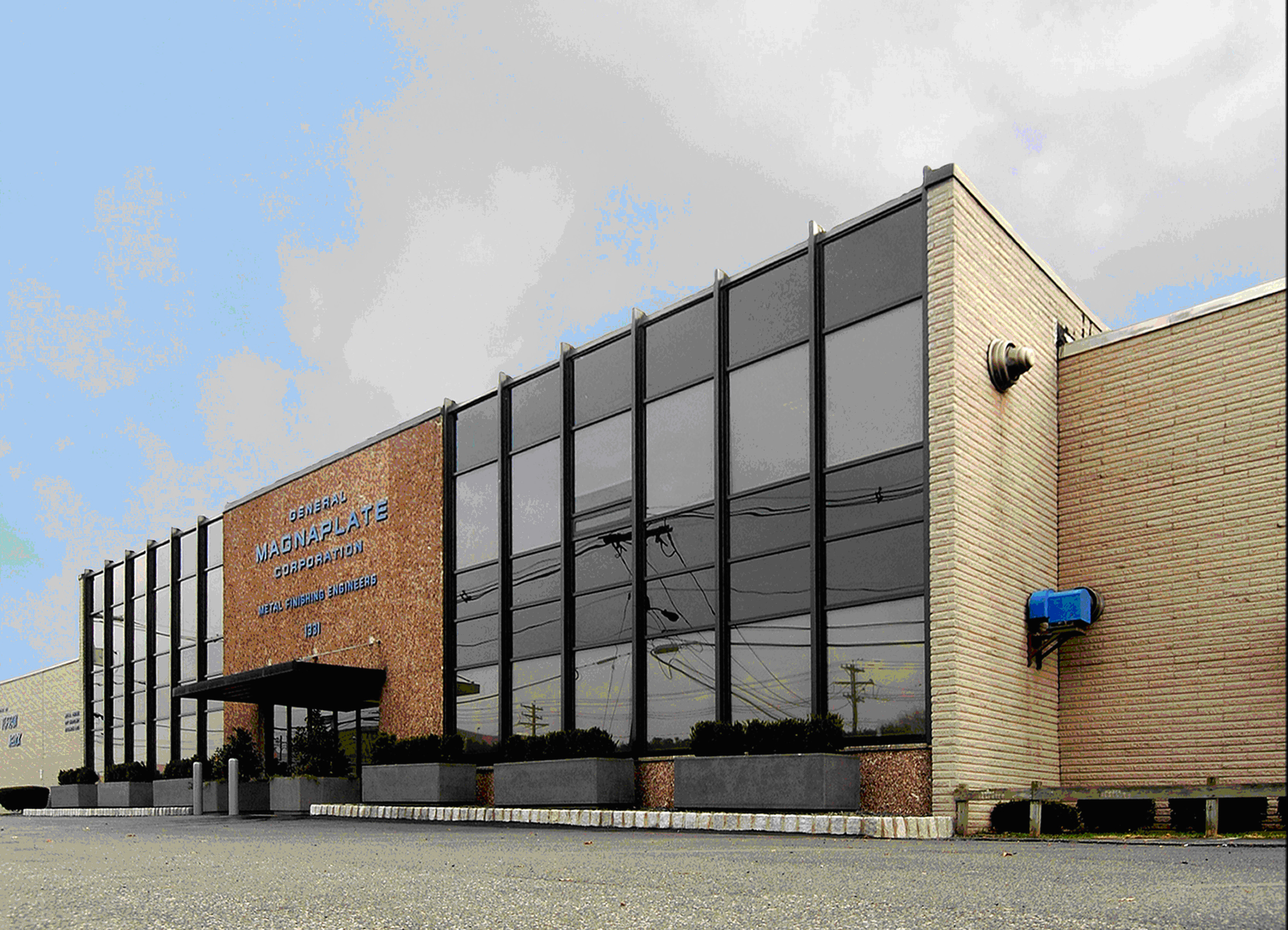
City in Union County, New Jersey, US
Linden
Weather & Forecast
Temperatures vary across four distinct seasons. Rain falls fairly evenly through the year. Spring and fall feel like real transition seasons. Noticeable daylight swing. Snow is a real part of winter.
About Linden
Linden is a city in southeastern Union County, in the U.S. state of New Jersey. It is part of the New York metropolitan area, located about 13 miles (21 km) southwest of Manhattan and bordering Staten Island, a borough of New York City, across the Arthur Kill. As of the 2020 United States census, the city's population was 43,738, an increase of 3,239 (+8.0%) from the 2010 census count of 40,499, which in turn reflected an increase of 1,105 (+2.8%) from the 39,394 counted in the 2000 census. In 2015, Linden was listed as the most polluted community in New Jersey, based on the volume of toxic chemicals released into the local environment by facilities in the city.Wikipedia
See how Linden stacks up before you commit.
Find practical next steps in Linden.
Housing, movers, and local services for people who are past browsing and starting to plan.
Where It Is
State Context
New JerseyU.S. stateNew Jersey is a state located in both the Mid-Atlantic and Northeastern regions of the United States. Located at the geographic hub of the heavily urbanized Northeast megalopolis, it is bordered to the northwest, north, and northeast by New York State; on its east, southeast, and south by the Atlantic Ocean; on its west by the Delaware River and Pennsylvania; and on its southwest by Delaware Bay and Delaware. At 7,354 square miles (19,050 km2), New Jersey is the fifth-smallest U.S. state by land area.Wikipedia
About the Region
Mid-AtlanticThe Mid-Atlantic corridor — New York City south through Philadelphia, Baltimore, and Washington D.C. — is the densest and most economically complex region in the country. Finance and media anchor New York; government, defense, and federal contracting anchor D.C.; healthcare and universities anchor Philadelphia and Baltimore. This makes the region one of the most recession-resistant labor markets in the U.S., though the same fundamentals push housing costs persistently high.
Philadelphia and Baltimore offer substantially lower costs than either New York or D.C. while sitting on the same high-speed rail line, making them increasingly attractive to remote workers and hybrid commuters. The New Jersey and Delaware suburbs fill in between, providing family-oriented communities within commuting range of multiple cities. The region's density means genuine walkability in most urban cores, strong transit infrastructure, and cultural institutions that rival anywhere on earth.
Nearby Parks & Nature
Closest protected landscapes, reserves, and big park systems surfaced from the same nearby feeds used in compare.
Federal Park Sites
Local Nature & Reserves
City Profile
Housing Costs & Income
Livability
Climate Through the Year
Annual average of days with more than five hours of sunshine, not necessarily clear skies.
Comfort combines temperature band fit, humidity fit, seasonal swing, and penalties for long stretches of extreme heat or cold. Higher scores mean the yearly pattern stays closer to an easier day-to-day climate band.
Natural Hazard Risk
Local Next Steps
Housing and local help for a move to Linden
Real estate, rentals, moving help, and everyday local businesses for people taking a serious look at Linden. Sponsored placements are clearly labeled and never influence the city data.
Compare Linden with other cities
Stack it side-by-side against cities you're considering.