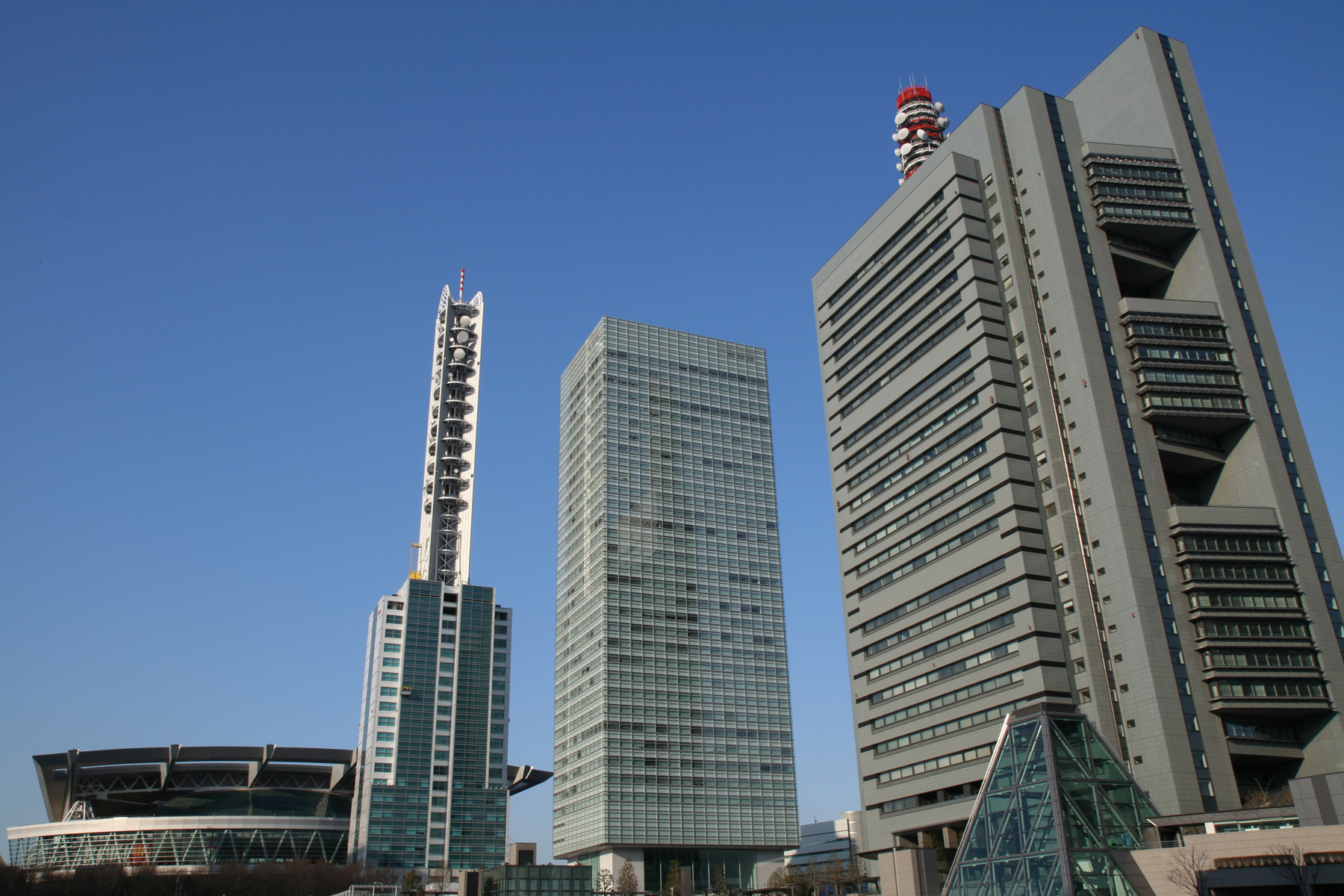
Prefecture capital and Designated city in Kantō, Japan
Saitama
Four real seasons, with rain spread fairly evenly through the year. Spring and fall feel like real transition seasons. Humidity climbs noticeably in the warm season. Air quality can be a watchout.
Saitama is the capital and largest city of Saitama Prefecture, Japan. Its area incorporates the former cities of Urawa, Ōmiya, Yono and Iwatsuki. It is a city designated by government ordinance. As of 1 February 2021, the city had an estimated population of 1,324,854, and a population density of 6,093 people per km2. Its total area is 217.43 square kilometres (83.95 sq mi).Wikipedia
Where It Is
Country Context
JapanCountry in East AsiaJapan is an island country in East Asia. Located in the Pacific Ocean off the northeast coast of the Asian mainland, it is bordered to the west by the Sea of Japan and extends from the Sea of Okhotsk in the north to the East China Sea in the south. The Japanese archipelago consists of four major islands alongside 14,121 smaller islands. Japan is divided into 47 administrative prefectures and eight traditional regions, and around 75% of its terrain is mountainous and heavily forested, concentrating its agriculture and highly urbanized population along its eastern coastal plains.Wikipedia
Nature Access
Closest protected landscapes, reserves, and big park systems surfaced from the same nearby feeds used in compare.
Nature & Parks Nearby
Cost of Living
Livability
Climate
Comfort combines temperature band fit, humidity fit, seasonal swing, and penalties for long stretches of extreme heat or cold. Higher scores mean the yearly pattern stays closer to an easier day-to-day climate band.
Current Conditions
Local Next Steps
Local Sponsored Directory
Local businesses and services related to Saitama. Want your business listed here?
Keep Exploring
Common Comparisons
Observed compare dataCompare Saitama with other cities
Stack it side-by-side against cities you're considering.